Iceland's Ring Road in 7 Days by Campervan
A 7-day Ring Road campervan itinerary for Iceland with official distances and drive times, campsites for each night, and the driving rules to know.
- 7 days
- 1,322 km · 820 mi
- Campsites mostly May–Sep
- No 4x4 needed on Route 1

João & Maria · Updated · 13 min read
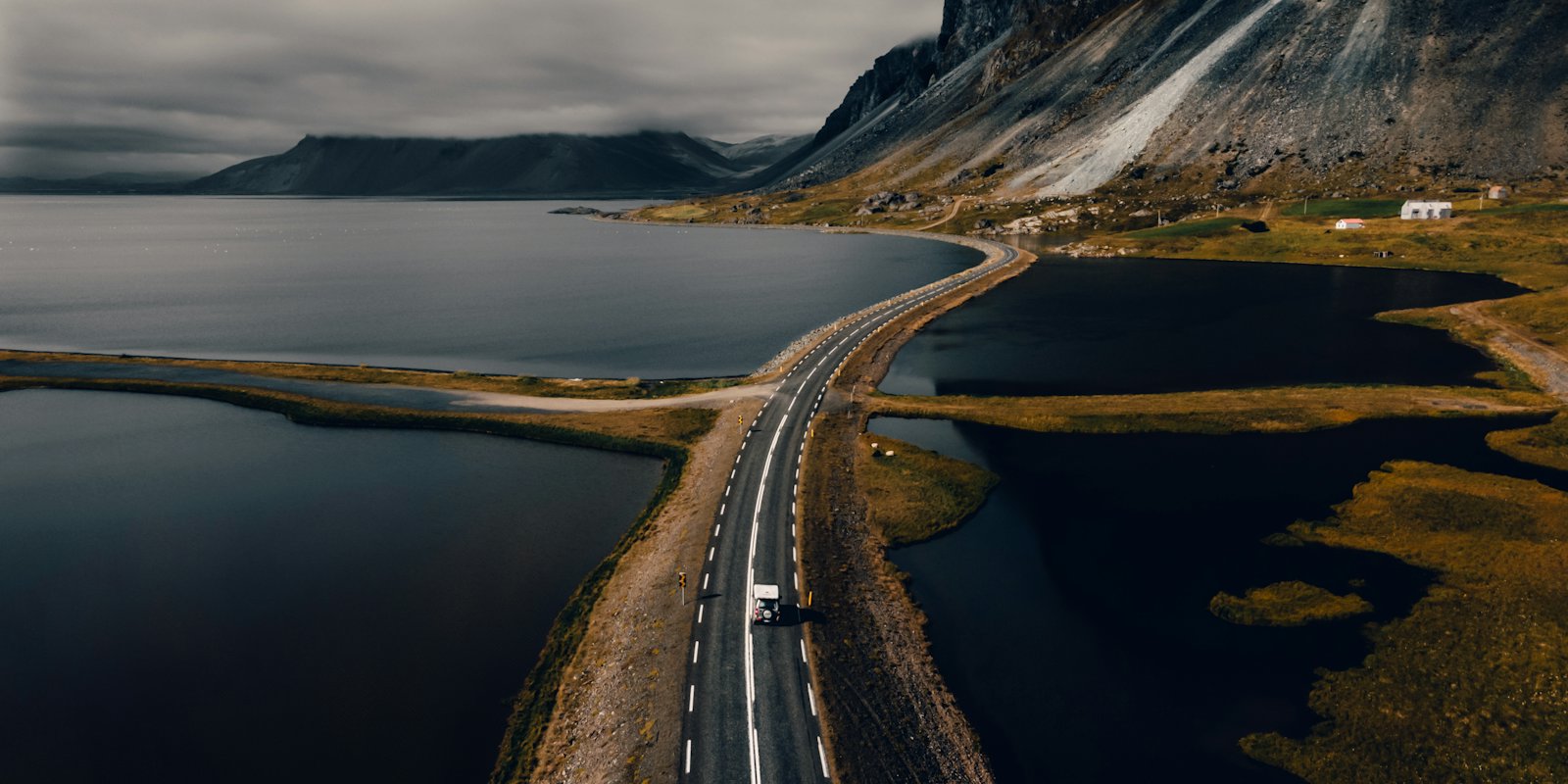
Iceland’s Ring Road is Route 1, a loop of 1,322 km (820 mi) that links most of the country’s towns and villages, according to Visit Iceland. Visit Iceland suggests at least 7 days for it and says you don’t need a 4x4. A campervan suits the trip well, as long as you plan each night around an official campsite.
This itinerary runs counterclockwise: Reykjavík, the South Coast waterfalls, Vík, Skaftafell and Jökulsárlón, the East Fjords, Mývatn and Akureyri, then back to Reykjavík. Every leg uses distances and drive times from the Icelandic Road and Coastal Administration’s distance calculator. Those times assume no stops, so treat them as a floor. Seven days is enough to see the loop. It is a full week of driving, and we’d add a spare day if you can.
At a glance
| Day | Route | Distance | Drive time (no stops) | Overnight area |
|---|---|---|---|---|
| 1 | Reykjavík to Vík | 186 km (116 mi) | about 2 h 5 min | Vík or Skógar |
| 2 | Vík to Skaftafell | 140 km (87 mi) | about 1 h 35 min | Skaftafell |
| 3 | Skaftafell to Jökulsárlón to Höfn | 122 km (76 mi) | about 1 h 25 min | Höfn |
| 4 | Höfn to Egilsstaðir via the fjords | 252 km (157 mi) | about 2 h 50 min | Egilsstaðir |
| 5 | Egilsstaðir to Mývatn (Reykjahlíð) | 163 km (101 mi) | about 1 h 55 min | Mývatn |
| 6 | Mývatn to Akureyri | 83 km (52 mi) | about 55 min | Akureyri |
| 7 | Akureyri to Reykjavík | 387 km (240 mi) | about 4 h 25 min | Reykjavík |
The legs add up to about 1,333 km (828 mi), close to Visit Iceland’s figure for the loop.
Before you go
Season
Visit Iceland lists the Ring Road as a year-round trip. For campervans the practical window is narrower. Most campsites open “from May til September,” with exact dates set by weather and ground conditions, according to Visit Iceland’s camping guide. The same page says some sites stay open all year, and that in winter you should travel “only short distances with a motorhome, if that.”
Visit Iceland also notes that between September and May the northern mountain passes of Holtavörðuheiði, Öxnadalsheiði and Möðrudalsöræfi can close in storms or high wind, “sometimes even during the summer.” If you are planning a winter trip, read our guide to northern lights by campervan first.
Campsites only
The Environment Agency of Iceland says, under the Nature Conservation Act no. 60/2013, that “it is illegal to spend the night in tent trailers, tent campers, caravans, camper vans or similar outside organised campsites” unless the landowner or rightholder has given permission (ust.is). Safetravel puts it more simply: “wild camping in Iceland is not permitted.”
Some popular stops on this route have their own extra rules. The Environment Agency lists Skógafoss and Mývatn as places where camping and overnight stays are not allowed outside marked camping areas. At Dyrhólaey, Dimmuborgir and Hverfjall, camping and overnight stays are not allowed at all. In Vatnajökull National Park, which includes Skaftafell and Jökulsárlón, camper vans must use organized campsites.
In summer, campsites “usually fill up around dinnertime, at six or seven pm,” says Visit Iceland. Arrive earlier or book where booking is possible. If you are comparing Iceland with the rest of Europe, our wild camping rules for Europe explain how much stricter it is here.
Wind
Visit Iceland’s driving guide asks drivers of “a high vehicle, such as campers and mobile homes” to pay special attention to strong winds. Safetravel’s winter camper quiz explains that campervans are “more easily blown aside or off the road.” It describes 25 to 30 m/s gusts as “way too much wind for driving such a vehicle,” and suggests parking so the door is against the wind.
Wind forecasts on the Icelandic Met Office site are given in meters per second, the same unit Safetravel uses.
Road and safety websites
- Umferdin.is, the road administration’s traffic site (road.is redirects there), carries road notifications. The traffic service line is 1777.
- Safetravel travel conditions shows current alerts and lets you submit a travel plan.
- Vedur.is has forecasts, wind, weather warnings and an aurora forecast.
Safetravel’s top 12 tips say to check weather and road conditions “in the morning, and a few times during the day.”
Fuel
Visit Iceland notes that “payment at most Icelandic gas stations is only possible with debit/credit cards and a pin number,” and that distances between stations vary. Know your card’s PIN before you leave home, and fill up before long empty stretches like the East Fjords and the drive inland from Egilsstaðir.
Which direction
Visit Iceland says “There is no right or wrong way.” It calls the southern route to Egilsstaðir “often considered the more scenic stretch,” and notes that locals often head first to whichever region looks sunniest. This plan starts with the South Coast. Check the forecast the day before you set off and reverse the loop if the north looks better.
Day-by-day itinerary
Day 1: Reykjavík to Vík
Distance: 186 km (116 mi), about 2 h 5 min via Hellisheiði (Vegagerðin).
Seljalandsfoss comes up first, 127 km (79 mi) and about 1 h 25 min from Reykjavík. Visit Iceland’s waterfall guide describes a path that “curves behind its tall curtain of water,” and says Gljúfrabúi is a few minutes farther on foot. The path behind Seljalandsfoss may close when ice makes it unsafe.
Skógafoss is 154 km (96 mi) from Reykjavík. South Iceland’s tourism site gives its height as 60 m (197 ft) and says a path from the top follows the river upstream past more waterfalls. Then continue to Vík. Visit Iceland describes it as a practical base close to Reynisfjara.
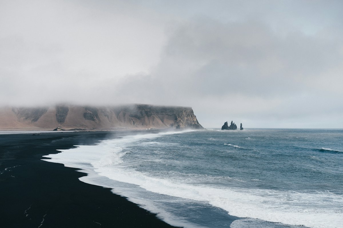
Take Reynisfjara seriously. Safetravel explains that sneaker waves “occur with zero warning.” The beach has a warning light system: under orange, stay at least 25 m (82 ft) from the sea, and under red, the beach is closed except for the viewing area.
Campsites: Vik Campsite says it is open from 20 April to 1 November 2026, with electricity, showers and a toilet-emptying station. Skógar Camping Ground is listed on south.is at the village of Skógar. Remember that camping at Skógafoss is only allowed in marked areas.
Day 2: Vík to Skaftafell
Distance: 140 km (87 mi), about 1 h 35 min across Skeiðarársandur.
Visit Iceland describes Kirkjubæjarklaustur as “a bridge between the South Coast and Skaftafell,” and it is a good place to break the drive. At Skaftafell, part of Vatnajökull National Park, the Svartifoss hike is 3 km (1.9 mi) out and back from the parking area, according to Visit Iceland.
Campsite: The Skaftafell campground is open year-round. You can’t reserve pitches, so register and pay at reception first. In winter only zones A and C are open, and outdoor water is off until mid-May because of frost. The park’s price list, seen in October 2026, showed ISK 2,800 per adult (17 to 66) per night and ISK 1,500 for 24 hours of electricity. Prices change, so check before you go.
Day 3: Skaftafell to Jökulsárlón and Höfn
Distance: 57 km (35 mi) to Jökulsárlón, about 40 min, then 65 km (40 mi) to Höfn, about 45 min.
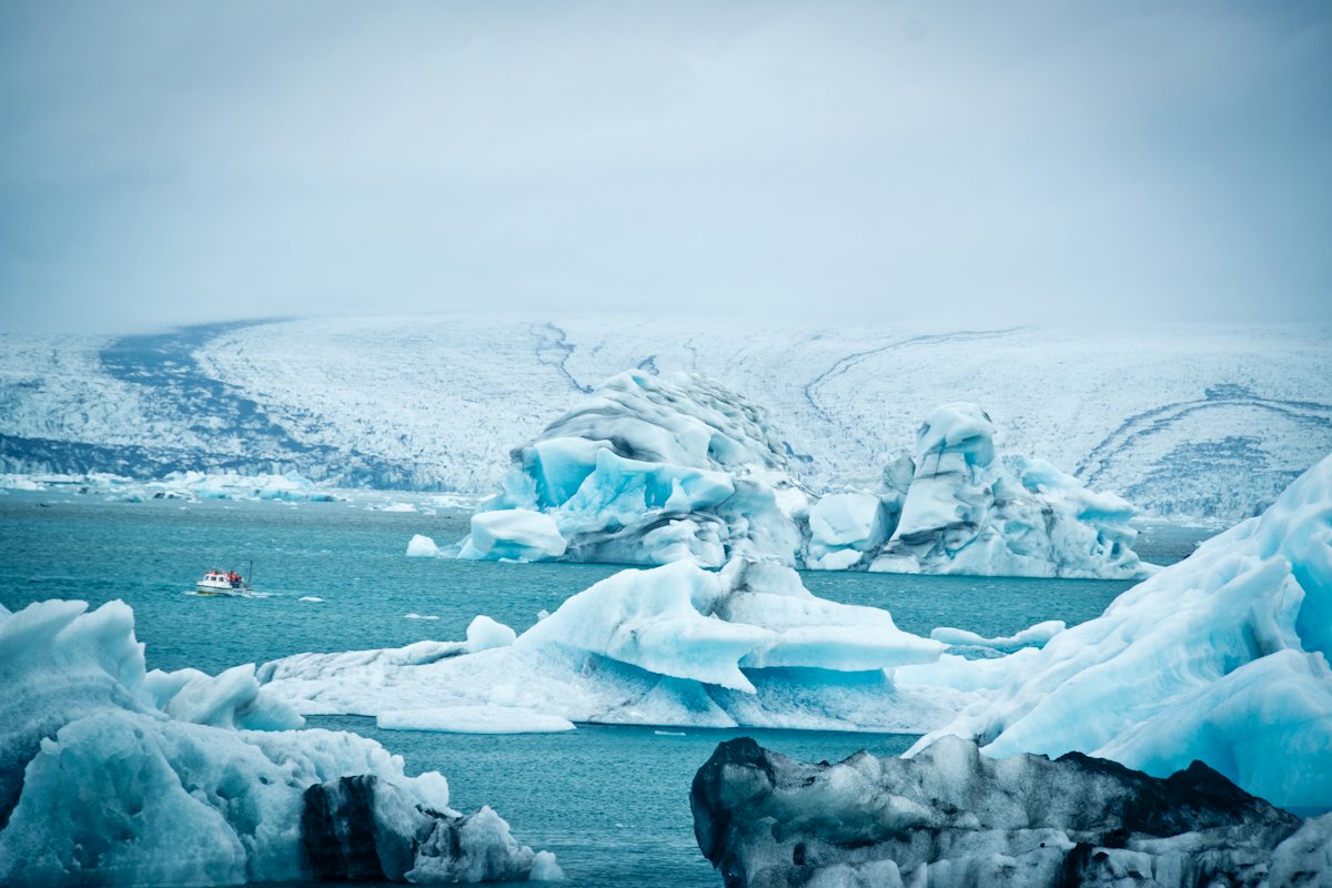
Visit Iceland says Jökulsárlón lets you “see floating icebergs without walking on the glacier.” Vatnajökull National Park charges a regional parking fee at Skaftafell and Jökulsárlón. In October 2026 the price list showed ISK 1,110 for a passenger car with 5 or fewer seats and ISK 1,440 for 6 to 9 seats. It lists no separate campervan category, so check which one applies at the pay machine. The park says the fee is valid until midnight on the day you pay, with 50% off at a second fee area visited the same day after paying the full fee at the first.
Höfn is “the main hub of southeastern Iceland,” says Visit Iceland. Use it to restock food and fuel before the fjords.
Campsite: Höfn Camping Ground, at Hafnarbraut 52, appears on South Iceland’s camper winter service list. The listing doesn’t give opening dates, so confirm them before you arrive.
Day 4: Höfn to Egilsstaðir through the East Fjords
Distance: 252 km (157 mi), about 2 h 50 min, paved throughout, via the southern fjords, the Fáskrúðsfjörður tunnel and Fagridalur.
Vegagerðin’s calculator also lists a shortcut over the Öxi pass. It is 184 km (114 mi) and about 2 h 10 min, but only 160 km of it is paved. Visit Iceland describes Öxi (Route 939) as a summer-only gravel road with steep, winding sections. Taking it means missing most of the fjords.
Along the coast, Visit Iceland’s East page notes that Djúpivogur was the first Icelandic town to join the Cittaslow movement, and that Fáskrúðsfjörður has road signs in Icelandic and French. Egilsstaðir is the region’s commercial hub. Hengifoss, which drops 128 m (420 ft), is within a 30-minute drive of town. The hike up takes about an hour each way.
Campsites: East Iceland’s tourism site says Camp Egilsstaðir is open year-round, 24/7, and that booking online is “very important to do in high season.” Stóra-Sandfell is open 1 June to 31 August.
Day 5: Egilsstaðir to Mývatn
Distance: 163 km (101 mi), about 1 h 55 min (Vegagerðin).
Vegagerðin’s shortest route here includes a short section off Route 1, and 141 km of the 163 km is paved. Follow the Route 1 signs if you’d rather stay on the main road, and check umferdin.is for conditions. Visit Iceland names Möðrudalsöræfi as one of the passes that can close in wind and storms.
At Mývatn, Visit Iceland’s North page says the lake formed over 2,000 years ago in a major eruption. It also mentions the bubbling mud pots at Hverir, and the Mývatn Nature Baths, which are open year-round.
Campsites: North Iceland’s tourism site says the Vogar campsite at Mývatn is open year-round for camper vans, motorhomes and caravans. Hlíð, on the north shore by Reykjahlíð, offers electricity, free warm showers and a waste tank discharge point.
Day 6: Mývatn to Akureyri
Distance: 83 km (52 mi), about 55 min via the Vaðlaheiðargöng tunnel. The route over Víkurskarð is 99 km (62 mi), about 1 h 5 min. Check whether a tunnel toll applies before you go.
Dettifoss, which Visit Iceland calls “Europe’s most powerful waterfall,” is 50 km (31 mi) and about 35 min from Reykjahlíð on paved roads to the west side. Visit Iceland says Road 862 is generally easier than Road 864. Goðafoss sits along the Ring Road on the way to Akureyri.
Visit Iceland calls Akureyri the largest town along the Ring Road. Restock here before the last day.
Campsites: Hamrar, at Kjarnaskógur in Akureyri, is “open year-round, with full services available during the summer season,” with electrical hookups and a disposal station (northiceland.is). Hrafnagil is about 10 km (6 mi) from town.
Day 7: Akureyri to Reykjavík
Distance: 387 km (240 mi), about 4 h 25 min, over Öxnadalsheiði, Vatnsskarð and Holtavörðuheiði and through the Hvalfjörður tunnel.
This is the longest day. Safetravel advises against long days and suggests switching drivers or stopping for 15 minutes when tired. Borgarnes, where Visit Iceland says the Ring Road runs through the town center, is a natural break. It is 314 km (195 mi) from Akureyri and 73 km (45 mi) from Reykjavík. Visit Iceland also warns that traffic between Reykjavík and Akureyri can be heavy, especially in July.
Campsite: The Reykjavík ECO Campsite at Sundlaugavegur 32 is open all year. It has 40 sites with outlets for larger motorhomes and around 70 non-grassed sites for vehicles without electricity.
Snæfellsnes (optional)
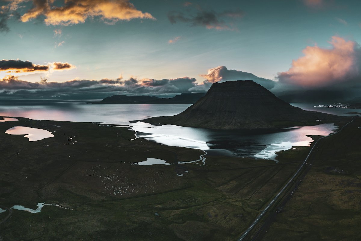
The Ring Road skips the Snæfellsnes Peninsula. It does not fit into 7 days without dropping something. To add it, drive from Akureyri to Stykkishólmur instead of Reykjavík on Day 7. That is 408 km (254 mi), about 4 h 35 min. Then add an eighth day around the peninsula and back to Reykjavík, which is 172 km (107 mi) and about 1 h 55 min from Stykkishólmur. Visit Iceland highlights Kirkjufell, Snæfellsjökull National Park and the coastal path between Arnarstapi and Hellnar. The Environment Agency lists Arnarstapi and Hellnar as places where overnight stays are only allowed in marked camping areas.
Driving notes
Speed limits
Safetravel gives the default limits as 50 km/h (31 mph) in urban areas, 80 km/h (50 mph) on rural gravel roads and 90 km/h (56 mph) on rural paved roads, unless signs say otherwise. Its top tips add that “the speed limit applies to the best conditions.”
Gravel
Visit Iceland says gravel roads “can be driven with a normal car and do not require a four-wheel drive,” and that many accidents happen where the pavement ends. Safetravel says the same: slow down before you leave the asphalt, because tires lose grip on the change.
Single-lane bridges
Single-lane bridges are common on and off the Ring Road. The speed limit is 50 km/h (31 mph), and the car that arrives first has the right of way. Safetravel still advises slowing down and watching what the oncoming driver does.
F-roads
F-roads are the highland mountain roads. Safetravel’s highland page is written for 4WD vehicles and warns that “not all 4WD vehicles are good for the F-roads.” The roads are usually closed from mid-September until June or July, and Safetravel says no insurance covers damage while crossing a river. Visit Iceland advises “a four-wheel-drive jeep with good ground clearance” for the highlands. A standard 2WD campervan doesn’t meet that, and this itinerary uses no F-roads. Check your rental terms too.
Livestock
Sheep are common on or beside roads, and horses and cows are possible, says Safetravel. If a lamb and its mother are on opposite sides of the road, drive very carefully. Visit Iceland notes that lambs roam freely from spring through summer and “are very unpredictable when cars approach.”
Other rules worth knowing
- Headlights and taillights must be on at all times, all year.
- Don’t stop on the road or its shoulder for photos. Find a safe spot off the road.
- Using a phone while driving is illegal.
- The blood alcohol limit is 0.2‰. Safetravel says that means no driving after even one drink.
- Off-road driving is prohibited and “punishable by fines or imprisonment” (ust.is).
Our Iceland campervan guide has more on traveling the country by camper.
If you have 10 or 14 days
10 days. Use the extra three days to slow the route down rather than drive more. We’d split Day 3 so you have a full day at Jökulsárlón. Add a night in the East Fjords, for example at Seyðisfjörður, 27 km (17 mi) from Egilsstaðir. Then add the Snæfellsnes detour described above. Visit Iceland’s Ring Road page also names Hraunfossar, 40 km (25 mi) from the Ring Road in the west, as a side trip.
14 days. With two weeks you can add the Diamond Circle in the north. Visit Iceland says it links Lake Mývatn, Dettifoss, Ásbyrgi Canyon and Húsavík and is about 310 km (193 mi) from Akureyri, more than four hours of driving before stops. Vatnajökull National Park runs a campsite at Ásbyrgi with facilities for caravans and mobile homes. Visit Iceland also suggests the Arctic Coast Way and the Westfjords Way as longer scenic routes beyond the Ring Road. Leave at least one free day for weather. Our campervan packing list helps for a longer trip.
Frequently asked questions
Can I sleep anywhere in a campervan in Iceland?
No. The Environment Agency of Iceland says it is illegal to spend the night in camper vans, caravans or similar vehicles outside organized campsites, unless the landowner or rightholder gives permission. Some places, such as Dyrhólaey and Dimmuborgir, ban overnight stays completely. Plan each night around an official campsite.
Do I need a 4x4 for the Ring Road?
Visit Iceland says no 4x4 is required for the Ring Road, and that gravel roads can be driven with a normal car. A 4x4 matters only if you plan to use F-roads in the highlands. Safetravel says even some 4WD vehicles are not suitable for those. This 7-day route uses no F-roads.
Is 7 days enough for the Ring Road?
Visit Iceland recommends at least 7 days, and this plan fits the loop into that with drives of about 1 to 4.5 hours a day before stops. It leaves no spare day for weather, and the last day is long. If you can, add one or two days, especially outside summer.
Which way should I drive the Ring Road?
Visit Iceland says there is no right or wrong direction. It notes that the southern route toward Egilsstaðir is often considered the more scenic stretch, and that locals tend to head first to the sunniest region. Check the forecast on vedur.is before you set off and pick the direction with better weather.
Can I do the Ring Road by campervan in winter?
The Ring Road is open year-round, but Visit Iceland advises traveling only short distances with a motorhome in winter, if at all. Most campsites open from May to September, and northern passes can close in storms between September and May. If you go in winter, check umferdin.is and safetravel.is each day and keep your plans flexible.