California by Campervan: The Complete Guide
Plan a California campervan trip: Highway 1, Yosemite, redwoods and desert, plus campsite booking, BLM rules, road conditions and 2026 park fees.
- Tioga Rd open late May–Nov
- SD–SF coast: 608 mi
- Nonresident pass $250
- BLM: 14 days in 28
João & Maria · Updated · 13 min read
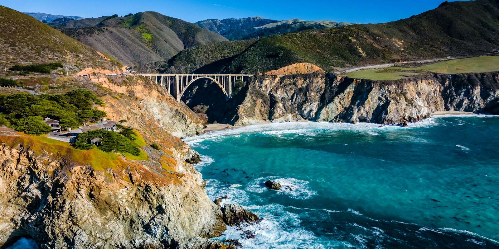
California packs a lot into one state. In a single trip you can follow the Pacific along Highway 1, climb into the Sierra Nevada, sleep under coast redwoods and wake up in the desert. A campervan suits this well. Your kitchen and bed come with you, and you can shift plans when fog sits on the coast or a mountain pass closes.
It also takes planning. Popular campgrounds book out months ahead, some park roads limit vehicle length, and the seasons pull in different directions. This guide gathers what the official sources say about routes, sleeping, driving rules and costs, so you can build a trip that fits your dates.
At a glance
| What | Detail |
|---|---|
| Classic coast drive | San Diego to San Francisco, about 978 km (608 mi) on Visit California’s Highway 1 itinerary |
| Big Sur | Highway 1 reopened through Regent’s Slide on January 14, 2026 |
| Sierra crossing | Tioga Road (Yosemite) usually open late May or June until sometime in November |
| Desert season | Death Valley average July high 116°F (47°C); winter and spring far milder |
| Campsite booking | State parks: ReserveCalifornia, 6 months ahead. National parks: Recreation.gov |
| BLM dispersed camping | Generally 14 days within any 28-day period |
| Speed limit when towing | 55 mph (89 km/h) |
| Fuel | California regular averaged $6.03 per gallon in mid-October 2026 |
| Park passes | America the Beautiful: $80 residents, $250 nonresidents (October 2026) |
Why go by campervan
The main draw is range. Visit California’s Highway 1 Classic itinerary runs 978 km (608 mi) from San Diego to San Francisco, and that is only the coast. Add Yosemite, the redwoods and the desert parks and you are covering very different landscapes, each with its own campgrounds.
Campgrounds in Yosemite, Joshua Tree, Death Valley and the redwood parks all take RVs. The catch is size. Many of the best sites were built for smaller vehicles, so a compact campervan opens doors a large motorhome does not. If you are still choosing a vehicle, our explainer on Class A, B and C motorhomes covers the differences.
When to go
There is no single best month for all of California. You pick a season and accept that some areas will be at their weakest.
| Season | Coast | Sierra (Yosemite, Tioga Road) | Desert (Death Valley, Joshua Tree) |
|---|---|---|---|
| Winter (Dec–Feb) | Cooler, storm season; check Highway 1 status | Tioga Road and Glacier Point Road closed; chains may be required on park roads | Mild days; Death Valley January average high 67°F (19°C) |
| Spring (Mar–May) | Good driving weather | Rivers high with snowmelt; Tioga plowing begins around April 15 | Joshua Tree’s busy season; campgrounds fill on weekends |
| Summer (Jun–Aug) | Fog common, especially July to September | Tioga Road usually open; afternoon thunderstorms | Extreme heat; Death Valley summer highs can reach 130°F (54°C) |
| Autumn (Sep–Nov) | Some of the clearest coastal days late Sep to early Nov | Overnight parking banned on Tioga Road from Oct 15; road closes with snow | Heat easing; Joshua Tree campgrounds fill on weekends from October |
Sierra passes. Yosemite says Tioga Road is typically open to vehicles from late May or June until sometime in November. Plowing usually starts around April 15 and takes one to two months, and the park says opening dates can’t be predicted. In 2026 the road opened on May 15, which the park called the earliest opening in 16 years. Per the park’s seasons page, overnight parking is banned on Tioga Road and Glacier Point Road from October 15. If you are reading this in late October, check the road status before planning a crossing.
Desert heat. Death Valley’s weather page lists an average July high of 116°F (47°C) at Furnace Creek, and the world-record 134°F (57°C) was recorded there in 1913. The park says winter and spring are very pleasant. Its safety page warns that summer nights can stay at 90°F (32°C) and tells visitors not to hike at low elevations when it is hot.
Coastal fog. At Point Reyes, north of San Francisco, the park notes heavy fog through the day in July, August and September, with some of the clearest coastal days in late September, October and early November. Beaches there are often about 20°F (11°C) cooler than inland.
Routes to know
Highway 1 and the Pacific Coast Highway
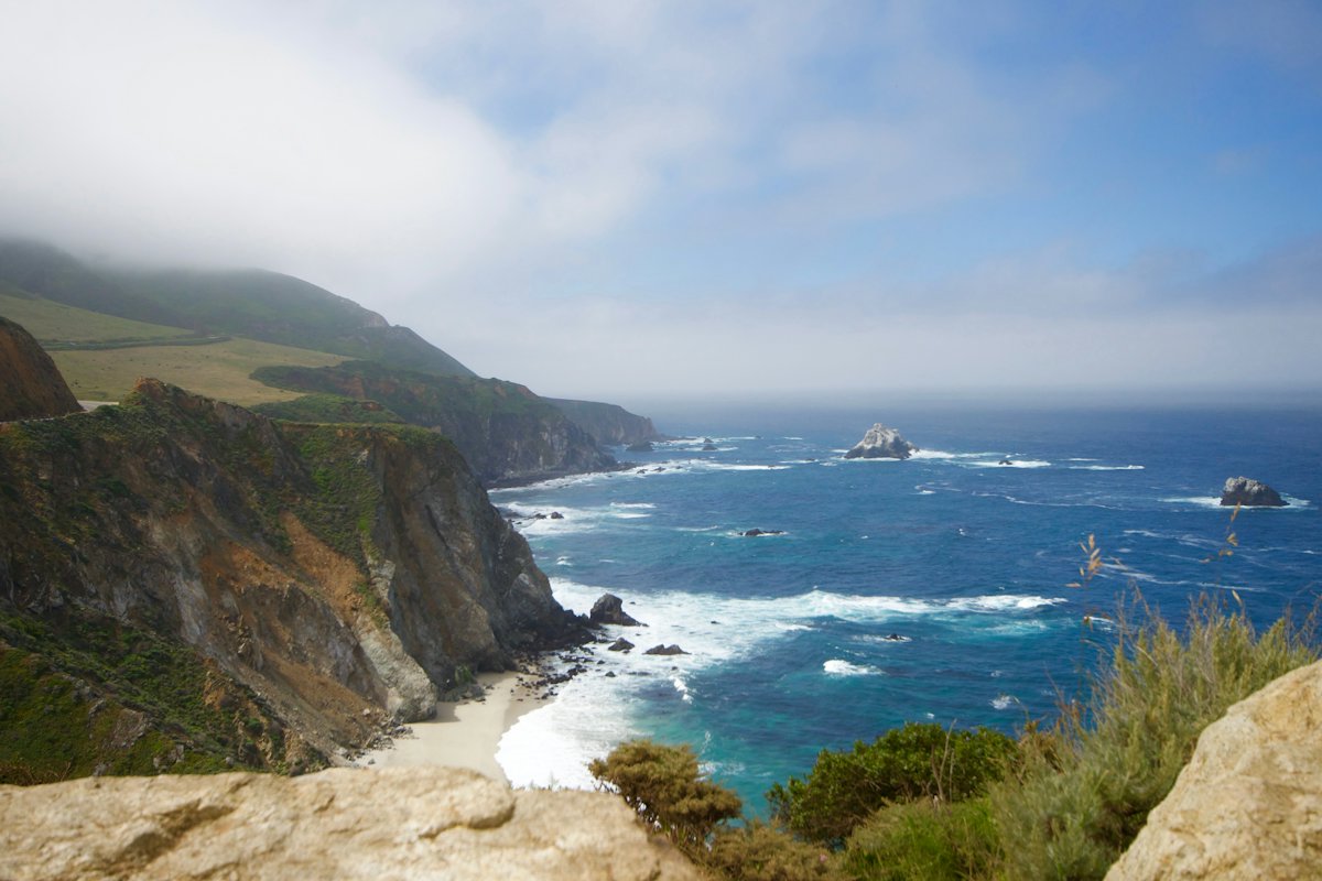
Highway 1 is the drive most people picture. Visit California’s Highway 1 Classic goes San Diego, Santa Barbara, San Luis Obispo, Hearst Castle, Big Sur, Monterey and on to San Francisco, about 978 km (608 mi), and suggests 4 to 7 days. Its San Francisco to Dana Point version is about 832 km (517 mi). Big Sur itself is a roughly 145 km (90 mi) stretch of coast between Carmel-by-the-Sea and Hearst Castle.
Big Sur status. Caltrans reopened Highway 1 between Carmel and Cambria at noon on January 14, 2026. The Regent’s Slide, which began in February 2024, had closed an 11 km (6.8 mi) section. Caltrans warns of occasional full closures for debris removal after seasonal weather, plus intermittent construction delays. Check QuickMap before you set off.
Visit California’s road-trip FAQ notes narrower lanes and sharper turns around Big Sur, Pacifica and Jenner, and says to take those sections slowly. At Bixby Bridge it asks drivers not to park, stop or slow down on the bridge. State Parks says RVs are not permitted in the parking lots at Andrew Molera and Julia Pfeiffer Burns, so plan those stops on foot from elsewhere.
Yosemite and the Eastern Sierra
Tioga Road (Highway 120) is the link between Yosemite Valley and the Eastern Sierra. The park plows about 73 km (45.5 mi) from Crane Flat to Tioga Pass each spring. Services along it are limited, so the park says to bring your own food and water.
Per Yosemite’s vehicle restrictions, Hetch Hetchy Road takes single vehicles up to 25 ft (7.6 m), Glacier Point Road beyond the Sentinel Dome/Taft Point trailhead allows up to 30 ft (9.1 m) with no trailers, and Mariposa Grove Road allows up to 21 ft (6.4 m) with no trailers. Big Oak Flat Road (Highway 120 from the west) allows single vehicles up to 45 ft (13.7 m).
The redwood coast
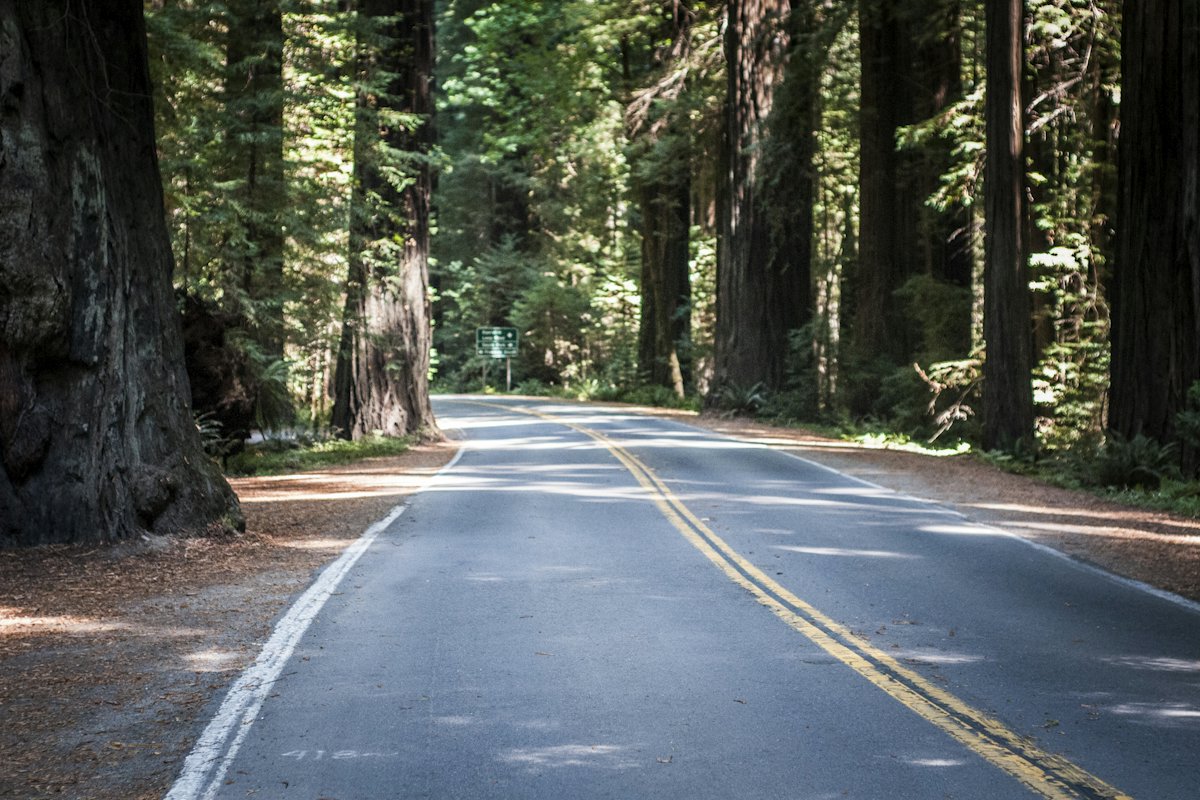
North of San Francisco, the big trees start. Visit California describes the Avenue of the Giants in Humboldt Redwoods State Park as a 51 km (32 mi) redwood stretch alongside Highway 101. Further north, Redwood National and State Parks has no entrance stations; most sights sit along Highway 101 and the Newton B. Drury Scenic Parkway. The parks protect 37 mi (60 km) of coastline and coast redwoods, some taller than 350 ft (107 m), per the park facts page.
At Jedediah Smith campground, the park says roads can’t handle an RV longer than 25 ft (7.6 m) or a trailer longer than 21 ft (6.4 m) because of narrow lanes and tight curves.
Joshua Tree and the desert loop
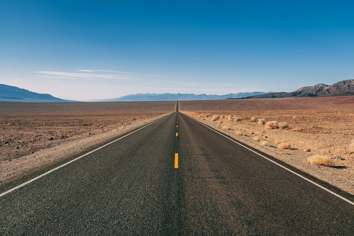
In the south, Joshua Tree and Death Valley make a winter and spring desert loop. Joshua Tree’s busy season runs October to May. The park’s safety advice is to plan on about a gallon (3.8 L) of water per person per day; water is available at Furnace Creek, Stovepipe Wells and Panamint Springs. Cell service is limited to nonexistent in much of the park, and most deaths there come from single-vehicle rollovers.
Lake Tahoe
Lake Tahoe sits high in the northern Sierra. D.L. Bliss State Park is on Highway 89, 27 km (17 mi) south of Tahoe City and 18 km (11 mi) north of South Lake Tahoe. Note that the park page says camping there is closed until May 2027. Its 1934 campground has small pads: maximum 15 ft (4.6 m) for trailers and 18 ft (5.5 m) for campers and motorhomes. Measure your van before booking anywhere in the Tahoe basin.
Where you can sleep
State parks via ReserveCalifornia
California State Parks campsites are booked on ReserveCalifornia. Per the State Parks FAQ, reservations open on a rolling basis six months ahead, with each new date released at 8 a.m. Pacific. The non-refundable reservation fee for camping is $8.25, and a cancellation also costs $8.25. Each reservation can be modified twice. Maximum stays vary by park, so check the individual park’s rules.
National park campgrounds via Recreation.gov
National park campgrounds go through Recreation.gov. Windows differ by park:
- Yosemite: Per the park’s reservations page, Upper, Lower and North Pines, Wawona and Hodgdon Meadow open five months ahead on the 15th of each month at 7 a.m. Pacific, and they sell out within minutes. Others open two months or two weeks ahead.
- Joshua Tree: Reservations from the same day up to 6 months ahead. Belle, Hidden Valley and White Tank are first-come, first-served.
- Death Valley: Furnace Creek takes reservations for the October 15 to April 15 season, between 2 days and 6 months ahead. The park says it has booked to capacity most days. Other park campgrounds are first-come, first-served when open.
- Redwood National and State Parks: These campgrounds are booked through ReserveCalifornia, not Recreation.gov.
BLM dispersed camping
Bureau of Land Management land is the main option for free camping outside campgrounds. The BLM camping page says dispersed camping is generally limited to 14 days within any 28-day period, after which you move to a new location, often 25 to 30 miles (40 to 48 km) away. It also says dispersed camping is for short-term recreation, not long-term living. Stay on designated roads, don’t leave property unattended for more than 10 days, and check fire restrictions. Recommended practice is to camp within 150 ft (46 m) of designated routes, at least 200 ft (61 m) from water, and not within a mile (1.6 km) of campgrounds, trailheads or picnic areas. Rules vary by field office, so confirm locally.
Overnight parking in cities
San Francisco is one example: the SFMTA’s oversize vehicle restriction prohibits overnight parking of vehicles longer than 22 ft (6.7 m) or taller than 7 ft (2.1 m) on posted streets, and the SFMTA calls it a standard parking management tool. Read every sign, and plan city nights at a campground.
Vehicle length limits in parks
On Yosemite’s campgrounds table, the Valley maximum is 40 ft (12.2 m) for RVs and 35 ft (10.7 m) for trailers, but only 8 sites take that size. Upper Pines lists 35 ft (10.7 m) RVs and 24 ft (7.3 m) trailers, White Wolf 27 ft (8.2 m), and Camp 4 and Tamarack Flat allow no RVs. The park says limits are not enforced as long as the vehicle fits on the parking pad. At Joshua Tree, White Tank and Hidden Valley are limited to 25 ft (7.6 m) combined length, and a vehicle towing a trailer counts as two vehicles.
Driving rules and road conditions
Speed limits
The California DMV’s driver handbook says that, unless otherwise posted, the maximum on most highways is 65 mph (105 km/h). It is 55 mph (89 km/h) on a two-lane undivided highway and for vehicles towing trailers. In business and residential districts the limit is 25 mph (40 km/h) unless posted otherwise. If you tow, the handbook says you must use the far-right lane or a lane marked for slower vehicles. On roads with four or more lanes in your direction and no marked lanes, you may only use the two right-hand lanes.
Caltrans QuickMap
Caltrans QuickMap shows lane and road closures, chain controls, CHP incidents, camera stills and traffic speeds. Per its FAQ, it shows only active lane closures, not planned ones.
Chain controls
Caltrans chain controls come in three levels:
- R-1: Chains required on all vehicles except passenger vehicles and light-duty trucks under 6,000 lb (2,722 kg) gross weight. Vehicles with snow tires on at least two drive wheels are exempt but must carry chains.
- R-2: Chains or traction devices required on all vehicles except four-wheel or all-wheel drive vehicles with snow-tread tires on all four wheels, which must still carry traction devices.
- R-3: Chains or traction devices required on all vehicles, no exceptions.
While chains are required, the speed limit is 25 or 30 mph (40 or 48 km/h), and the CHP can cite you for not complying. Many campervans exceed 6,000 lb, so check your vehicle’s gross weight and ask your rental provider about chains before winter mountain driving. Yosemite also says tire chains may be required on park roads from late fall to early spring.
Foreign licences
The DMV’s driver licence page says all California residents need a California licence. It says 16- and 17-year-olds with a valid foreign licence may drive in California for a maximum of ten days. The DMV pages we could open did not set out the rules for adult visitors, so confirm with the DMV or your rental provider before you travel.
Fuel
California fuel is expensive by US standards. The US Energy Information Administration’s weekly survey put California regular gasoline at $6.031 per gallon (about $1.59 per litre) on October 19, 2026, against a US average of $4.284. Prices change weekly. Fill up before remote stretches; Death Valley and Tioga Road both have limited services.
What it costs
All prices below were seen in October 2026 and will change. Check official pages before you go.
| Item | Price (October 2026) |
|---|---|
| Yosemite private vehicle entry (7 days) | $35 |
| Joshua Tree private vehicle entry (7 days) | $30 |
| Death Valley private vehicle entry (7 days) | $30 |
| Redwood National Park entry | Free (state park fee at Gold Bluffs Beach and Fern Canyon) |
| America the Beautiful annual pass, US residents | $80 |
| America the Beautiful annual pass, nonresidents | $250 |
| Nonresident fee at 11 parks incl. Yosemite (age 16+) | $100 per person on top of entry |
| Yosemite campsites | $24 to $36 per night |
| Joshua Tree campsites | $25 to $35 per night |
| Death Valley campsites | $18 to $30 per night; $44 for full hookups at Furnace Creek |
| Redwood National and State Parks campsites | $35 per night |
| Big Sur state parks | $30 to $60 per night |
| ReserveCalifornia reservation fee | $8.25 |
The NPS passes page sets out the nonresident rules. At 11 parks, including Yosemite, nonresidents aged 16 and over pay $100 per person on top of the entrance fee, unless they enter with an annual or America the Beautiful pass. From 2026, fee-free days are for US citizens and residents only. For a nonresident couple, one Yosemite visit costs $235 in entry and fees, so the $250 pass pays for itself quickly. Yosemite doesn’t accept cash at entrances.
Tips
- Book the anchors first. Yosemite’s Valley campgrounds open five months ahead and sell out within minutes. Set reminders for the 15th at 7 a.m. Pacific.
- Measure your van, including the hitch or bike rack. Length limits run from 15 ft (4.6 m) at D.L. Bliss to 40 ft (12.2 m) at a handful of Yosemite sites.
- Build the route around the seasons. Desert in winter and spring, Sierra from June to October, coast in September and October for clearer skies.
- Pack for cold nights. Tuolumne Meadows campground sits at 8,600 ft (2,600 m). Our campervan packing list covers the layers.
- Allow a spare day. We’d build one buffer day into any route that crosses the Sierra, in case of weather or a closure.
- Comparing destinations? Our Canadian Rockies campervan guide covers another North American mountain trip with similar booking pressure.
Frequently asked questions
Is Highway 1 through Big Sur open in 2026?
Yes. Caltrans reopened Highway 1 between Carmel and Cambria on January 14, 2026, after the Regent’s Slide repairs. Caltrans warns of occasional full closures for debris removal after storms and intermittent construction delays. Check Caltrans QuickMap on the day you drive.
When is Tioga Road open?
Yosemite says Tioga Road is typically open from late May or June until sometime in November. It opened on May 15 in 2026, the earliest in 16 years. Overnight parking on the road is banned from October 15, and it closes once snow arrives. Check the park’s road status before you plan a crossing.
Can I camp for free in California?
On most BLM land, dispersed camping is allowed for up to 14 days within any 28-day period, then you move on, often 25 to 30 miles (40 to 48 km) away. Rules vary by field office and some areas have fire restrictions. National and state parks require you to stay in designated campgrounds.
How far ahead should I book campsites?
California State Parks open six months ahead on ReserveCalifornia, with new dates released at 8 a.m. Pacific. Yosemite’s most popular campgrounds open five months ahead on Recreation.gov and sell out within minutes. Joshua Tree and Death Valley’s Furnace Creek open up to six months ahead.
Do international visitors pay more at national parks?
At 11 parks, including Yosemite, nonresidents aged 16 and over pay a $100 fee per person on top of the entrance fee. A $250 nonresident America the Beautiful pass removes that fee and covers entrance for a year. From 2026, fee-free days apply to US citizens and residents only.